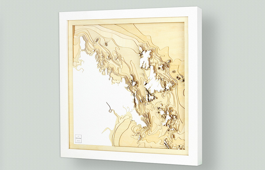
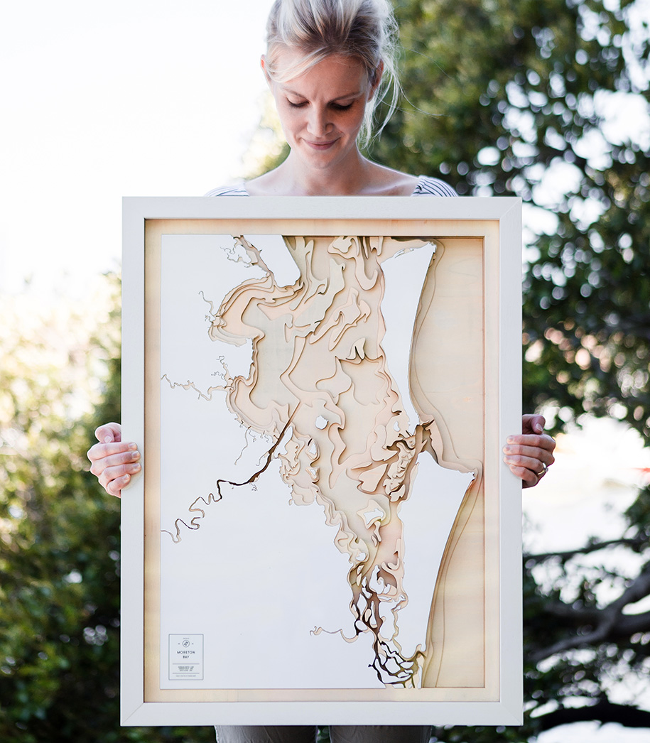
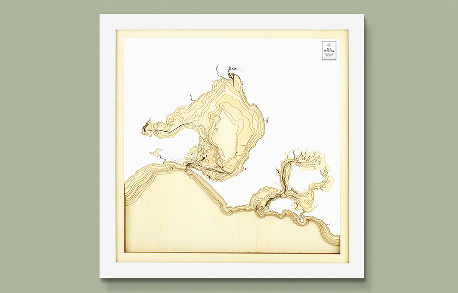
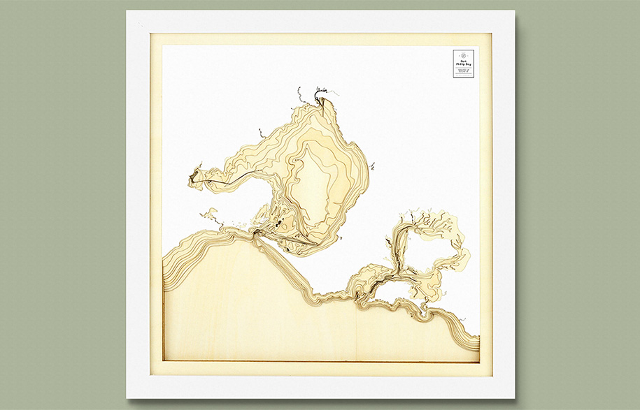
It’s easy to forget that a whole world lies below the ocean surface, but Pangea Maps’ carefully crafted representations are a stunning reminder. Tom Percy, the industrial designer behind the project, was “inspired by the work of Marie Tharp, an oceanographer, whose life’s work was to create a map of the entire ocean floor.”
Working with Bruce Hezeen, it took the American cartographer 18 years to publish that first paradigm-shifting map of the ocean’s floor. “There is now this growing understanding of the vastness and beauty below the water’s surface,’ says Tom, “and I wanted to bring it to life for people…the maps are a way to help form people’s experience and connection by representing their ‘home’ in an entirely new way.”
The project which now sees Tom creating custom maps of coastlines across the world, began two years ago, as a gift. It was his father’s 60th birthday and Tom wanted to make a 3D map that would celebrate the water depth contours of Moreton Bay, Brisbane where he grew up. The finished product, made of plaster from a polyurethane mould, was beloved by his father. However, the project really took off when Tom debuted it at a local market. “Since then I have had hundreds of requests for maps of coastlines around Australia and the world” says Tom, “It’s great to see other people enjoy them.”
After such humble beginnings the pieces have evolved, with a move from the smooth textures of the plaster to stepped, laser cut wooden layers. The transition to sustainable plywood was perfect,” says Tom, “as the laser cutting method provided a whole new level of detail and dimension to the maps.” It was also important to Tom that the maps be made of sustainable materials. “We want people to feel connected with their natural surrounds,” he says, ”ultimately we all have a responsibility to care for the environment.”
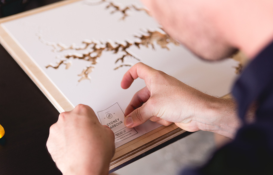
To create each map requires intensive research, using bathymetric data (depth data) to sketch out the contours. Tom cuts up to 15 layers of plywood ocean contours, each via laser to allow for precision. He then glues each layer together piece by piece.
Picking new coastlines to represent is difficult, but Tom carefully weighs both the bathymetric data and the more allusive, emotive weight of a place, saying he is “mostly influenced by people and their stories relating to the water and surrounding coast.”
Pangea Maps
pangeamaps.com


